

亞馬喇前地 Praça de Ferreira do Amaral is a central Macau bus-terminal area, with Oriental Arch among the nearby landmarks. The square is about a 9-minute walk from Beverly Plaza, a four-star hotel with guest rooms, and the official pedestrian map marks suggested routes and useful facilities around the district.
- Square: A bus-terminal area on the official pedestrian map.
- Nearby landmark: Oriental Arch is another landmark in the central area.
- Walking map: Suggested route durations range from 3 to 13 minutes, without assigning each time to a specific route.
- Access: The map marks footbridges, escalators, elevators, taxi stops and public toilets.
Where does Praça de Ferreira do Amaral sit in central Macau?
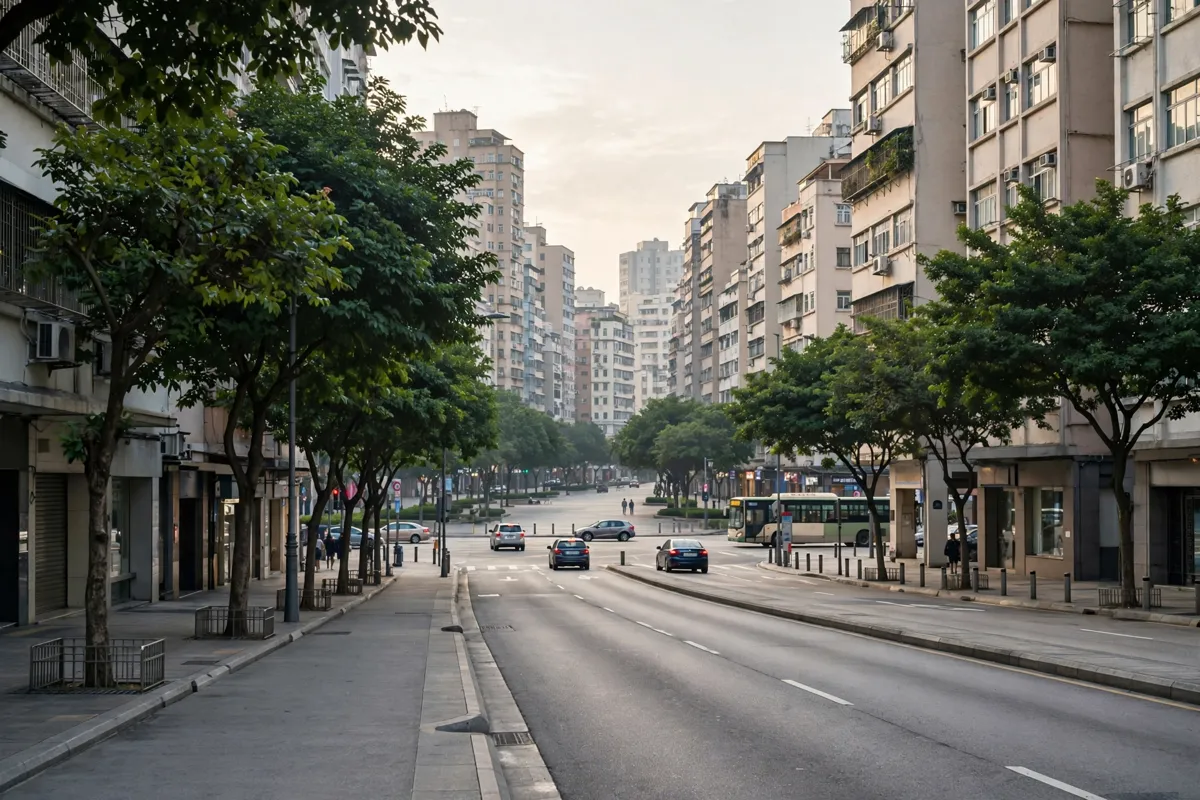
Praça de Ferreira do Amaral is a bus-terminal area connected to several central Macau walking routes. The official pedestrian map shows suggested routes linking its terminal with the Praceta 24 de Junho bus terminal, Horta da Mitra, Senado Square and Conde S. Januário General Hospital.
The map also labels nearby landmarks including Grand Lisboa, Hotel Lisboa, Wynn Macau, Star World Hotel and New Orient Landmark Hotel. You can use the marked pedestrian facilities to plan a route around these central streets, rather than treating the square as a destination apart from its surroundings.
What is Oriental Arch and what is around it?
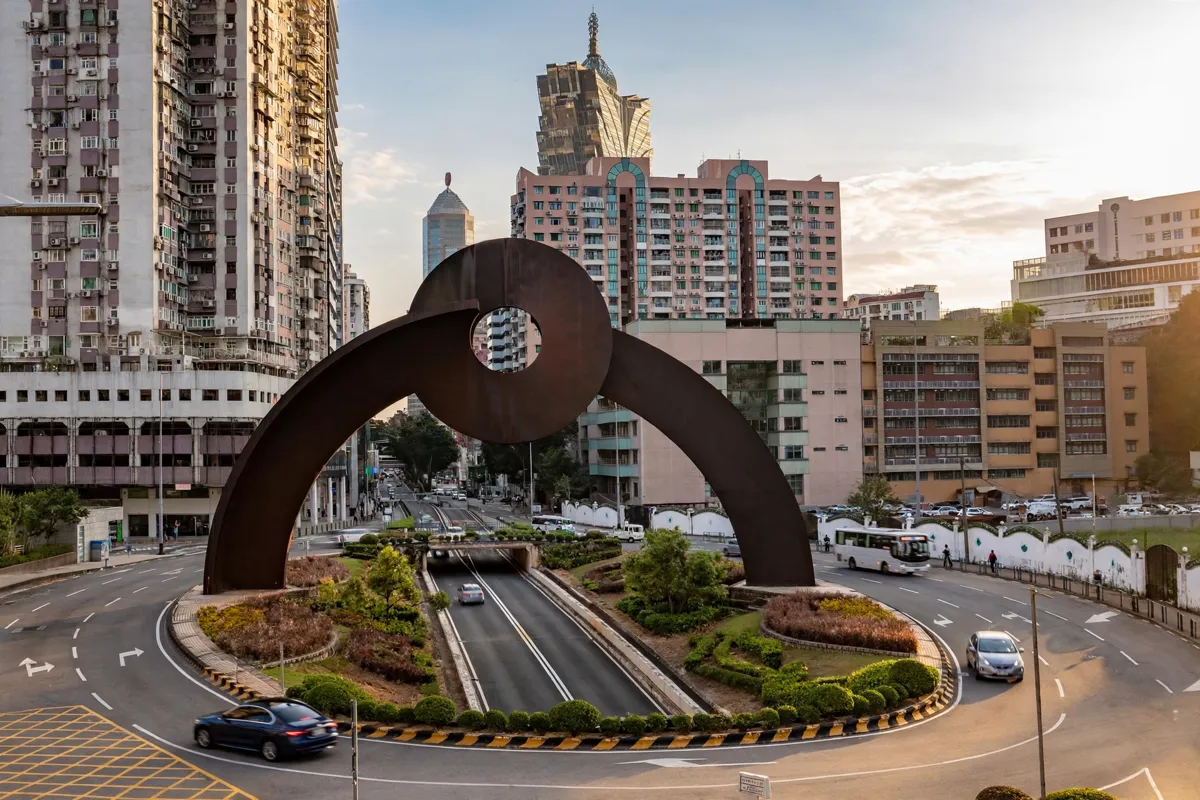
Oriental Arch is a landmark in the same central Macau area as Praça de Ferreira do Amaral. The two are close enough to include in a walk, and the pedestrian map provides a broader picture of the nearby connections and facilities.
If you want to add a green pause to a city walk, S. Francisco Garden in central Macau is another nearby landmark. Keep the route focused on the square and arch, or make the garden a separate stop.
How do you walk between the square and Oriental Arch?
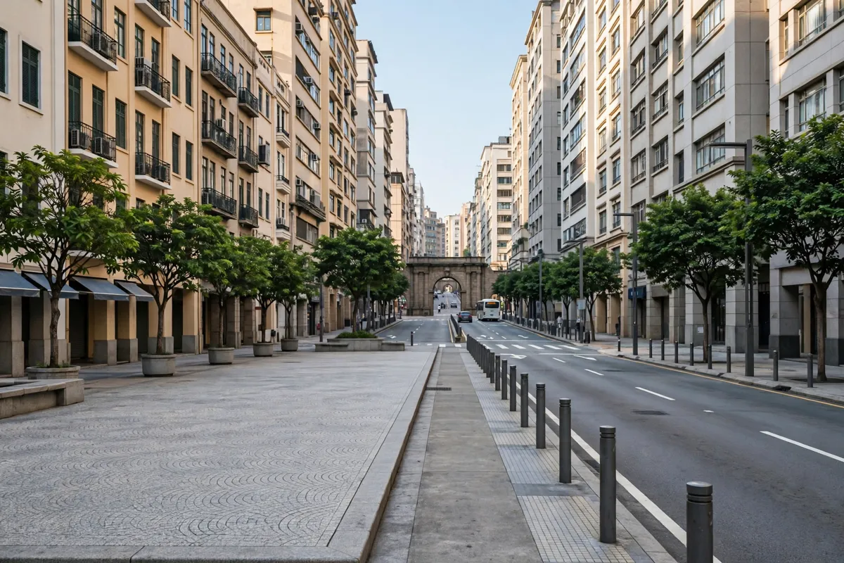
The official map gives suggested walking routes in the area, with durations of 3, 4, 6, 8 and 13 minutes. It does not tie each duration to a particular route, so use the map to choose the connection that suits your walk.
Start at the bus-terminal area at Praça de Ferreira do Amaral, then follow a mapped pedestrian route toward the surrounding central streets and Oriental Arch. For a longer outing, the mapped connections also reach Horta da Mitra and Senado Square. The Macau walking tour linking central sights on foot covers the idea of connecting central landmarks by walking.
What should you know about crossings and access?
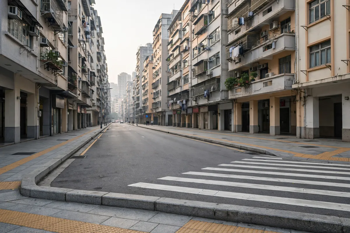
The pedestrian map marks footbridges, escalator-equipped pedestrian facilities, elevators, public toilets, bus stops and taxi points in the area. You can check these symbols when deciding how to cross or where to connect with another mode of transport.
Footbridges are marked at Avenida Dr. Rodrigo Rodrigues, Avenida da Amizade and Rua de Cantão. The map identifies elevators at Calçada da Surpresa and Pátio do Túnel, alongside taxi stops and pick-up or drop-off points. It also marks public car parks and other parking facilities open to the public.
Before you go: Check the official Macau pedestrian map before setting out, as it shows the routes and facilities in the mapped area.
FAQs
Is Praça de Ferreira do Amaral a bus terminal?
Yes. The official pedestrian map identifies it as a bus-terminal area and labels a separate bus terminal at Praceta 24 de Junho.
How long are the suggested walking routes?
The map gives suggested-route durations of 3, 4, 6, 8 and 13 minutes. It does not specify which duration applies to each individual route.
Does the pedestrian map show accessible facilities?
It marks escalator-equipped pedestrian facilities and elevators at Calçada da Surpresa and Pátio do Túnel, as well as footbridges and other pedestrian infrastructure.
Are there taxi stops near the square?
The map marks taxi stops and taxi pick-up and drop-off points within its coverage area.